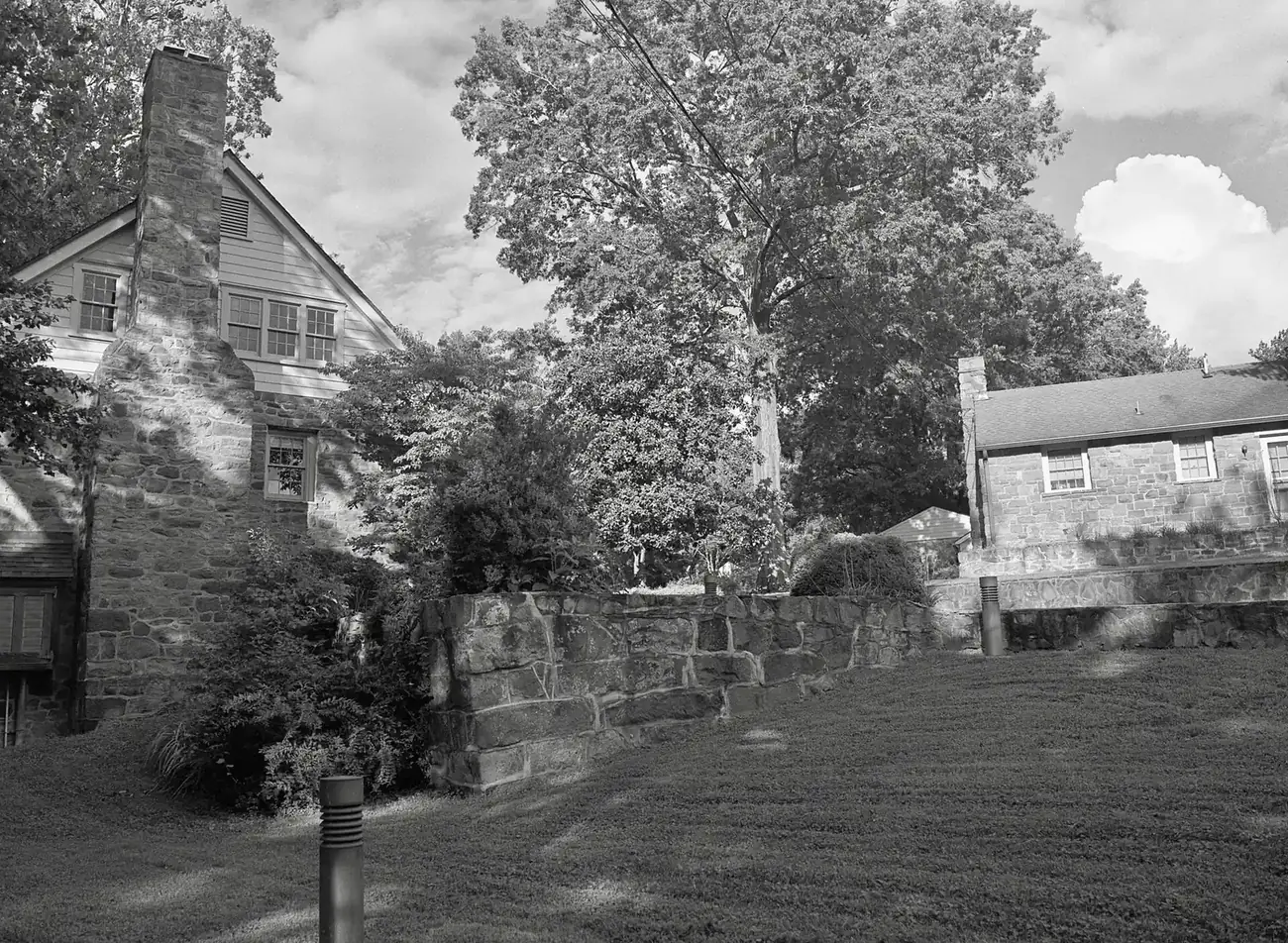
Cabells Mill and Sequoia Farms form the low-density area north of I-66 by Ellanor C. Lawrence Park, split between Westfield and Chantilly High zones.
Last checked Oct. 19, 2026. Sources: the Bull Run Planning District text of the Fairfax County Comprehensive Plan, Fairfax County’s subdivision, ZIP code and school attendance area layers, the Zillow Home Value Index, the Virginia School Quality Profiles, Fairfax Connector and OpenStreetMap.
This is Centreville’s quiet northeast corner: a band of low-density streets north of I-66, planned by Fairfax County as a “transition area” between Centreville, Chantilly and the Fairfax Center Area. The county plan names the Cabells Mill subdivision near Heron Drive; OpenStreetMap marks Sequoia Farms next to it. Both sit beside Ellanor C. Lawrence Park, the county’s 650-acre nature park, where the old Cabell’s Mill still stands.
What this means for you
- Zoned high school: split between Chantilly High, 4201 Stringfellow Road, and Westfield High, 4700 Stonecroft Blvd., both in Chantilly. Check your address.
- Home values: ZIP 20120, typical value $686,705 in September 2026, according to Zillow.
- Nearest I-66 exit: Exit 53, Route 28, about 2.3 miles by road.
Where it is
The Bull Run Planning District text of the county’s Comprehensive Plan calls this Land Unit A, about 400 acres north of I-66, “separated from the main portion of the Centreville Area,” which makes it “appropriate for low density residential use as a transition area between Centreville and Chantilly.” It has two parts:
- A-1, 121 acres, planned for two to three homes an acre and partly built at three. The plan says the Cabells Mill subdivision, near Heron Drive, is at that density.
- A-2, 279 acres, planned for one to two homes an acre to match development along Stringfellow Road.
The plan’s Flatlick sector text also plans the land “between Poplar Tree Road, the Cabells Mill Subdivision and Ellanor C. Lawrence Park, Stringfellow Road, and I-66” at one to two homes an acre. Walney Road is the main road. The homes in the county’s Cabells Mill and Sequoia Farms records are in ZIP code 20120; the park and the mill itself are in Chantilly’s 20151.
Schools
The area is split between two pathways for 2026-27, from the FCPS attendance area maps. About half of the recorded lots are in each:
- Poplar Tree Elementary, 13440 Melville Lane, Chantilly (state profile); Rocky Run Middle, 4400 Stringfellow Road, Chantilly (state profile); and Chantilly High, 4201 Stringfellow Road (state profile).
- Cub Run Elementary, 5301 Sully Station Drive (state profile); Stone Middle, 5500 Sully Park Drive (state profile); and Westfield High, 4700 Stonecroft Blvd., Chantilly (state profile).
All six are Fully Accredited for 2025-26 on Virginia’s School Quality Profiles. Chantilly High and Westfield High each show a 97% four-year on-time graduation rate for their latest class on the profiles. Skyview High boundaries move some students among Westfield, Chantilly, South Lakes and Centreville high schools from 2027-28, so check an address on the FCPS boundary page. More in our schools guide.
Home values
ZIP 20120’s typical home value was $686,705 in September 2026, up 1.3% from $677,970 a year earlier, according to the Zillow Home Value Index (Zillow Research). It is a modeled typical value for the middle third of homes, not a sale price. The ZIP code covers all of northern Centreville, townhouses included, so it is a broad guide to an area planned for one to three homes an acre. Centreville’s overall figure was $614,849, and Chantilly’s was $799,173. See our home prices guide.
Parks and history
- Ellanor C. Lawrence Park, 5040 Walney Road, run by the Fairfax County Park Authority: 650 acres of forest, streams and meadows, Walney Pond and a nature center with live reptiles. Details on the park’s page.
- Cabell’s Mill and the Miller’s House, 5235 Walney Road, about 1800, and Walney, 5040 Walney Road, about 1780, are on the county’s Inventory of Historic Sites, as listed in the plan.
- Poplar Tree Park, to the north near Poplar Tree Road (OpenStreetMap).
- Big Rocky Run runs through the park along the edge of Centreville and Chantilly.
More in our parks and trails guide.
Getting around
- I-66: Exit 53 (Route 28) is about 2.3 miles by road and Exit 55 (Fairfax County Parkway) about 2.7 miles.
- Distances by road from the middle of the area, measured on the OpenStreetMap road network: about 1.7 miles to Centreville Regional Library, 12.8 miles to Washington Dulles International Airport and 26.4 miles to Ronald Reagan Washington National Airport. These are distances, not drive times.
- Buses: Fairfax Connector Route 642 runs by way of Walney Road and Westfields Boulevard between Sullyfield Circle and the Centreville (Stone Road) park-and-ride, according to the county’s route page.
More in getting around Centreville.
Groceries and everyday stores
From OpenStreetMap:
- Giant, Route 50 in Greenbriar, Chantilly
- Wegmans, Newbrook Drive, Chantilly
- Giant, Stone Road in Sully Station
Related guides
Map data: Fairfax County GIS; © OpenStreetMap contributors.
Frequently asked questions
Where is Cabells Mill in Centreville?
North of I-66 near Heron Drive, beside Ellanor C. Lawrence Park, in the county plan’s Land Unit A, a 400-acre low-density area between Centreville and Chantilly.
What schools serve Cabells Mill and Sequoia Farms?
The area is split. For 2026-27, about half of its recorded lots are zoned for Poplar Tree Elementary, Rocky Run Middle and Chantilly High, and the rest for Cub Run Elementary, Stone Middle and Westfield High, according to the FCPS attendance area maps.
How old is Cabell’s Mill?
Fairfax County’s Inventory of Historic Sites, as listed in the county plan, dates Cabell’s Mill and the Miller’s House at 5235 Walney Road to about 1800.
What is the typical home value in Cabells Mill?
The homes are in ZIP 20120, where Zillow’s typical home value was $686,705 in September 2026, up 1.3% from a year earlier. It is a modeled value, not a sale price.
Have your say