Centreville has no city limits: it is a Census area of Fairfax County split by I-66. Eight areas with their ZIP codes, high schools and home values.
Last checked Oct. 19, 2026. Sources: the Fairfax County Comprehensive Plan, Fairfax County’s GIS layers for subdivisions, ZIP codes and school attendance areas, the Zillow Home Value Index and OpenStreetMap.
Centreville is not a town. It has no city limits, no mayor and no town council. It is a Census Bureau place, about 71,700 people in the 2024 American Community Survey, governed by Fairfax County and represented mostly by the Sully District supervisor. What people mean by “Centreville” is the Census boundary plus the post office’s names: ZIP codes 20120 and 20121.
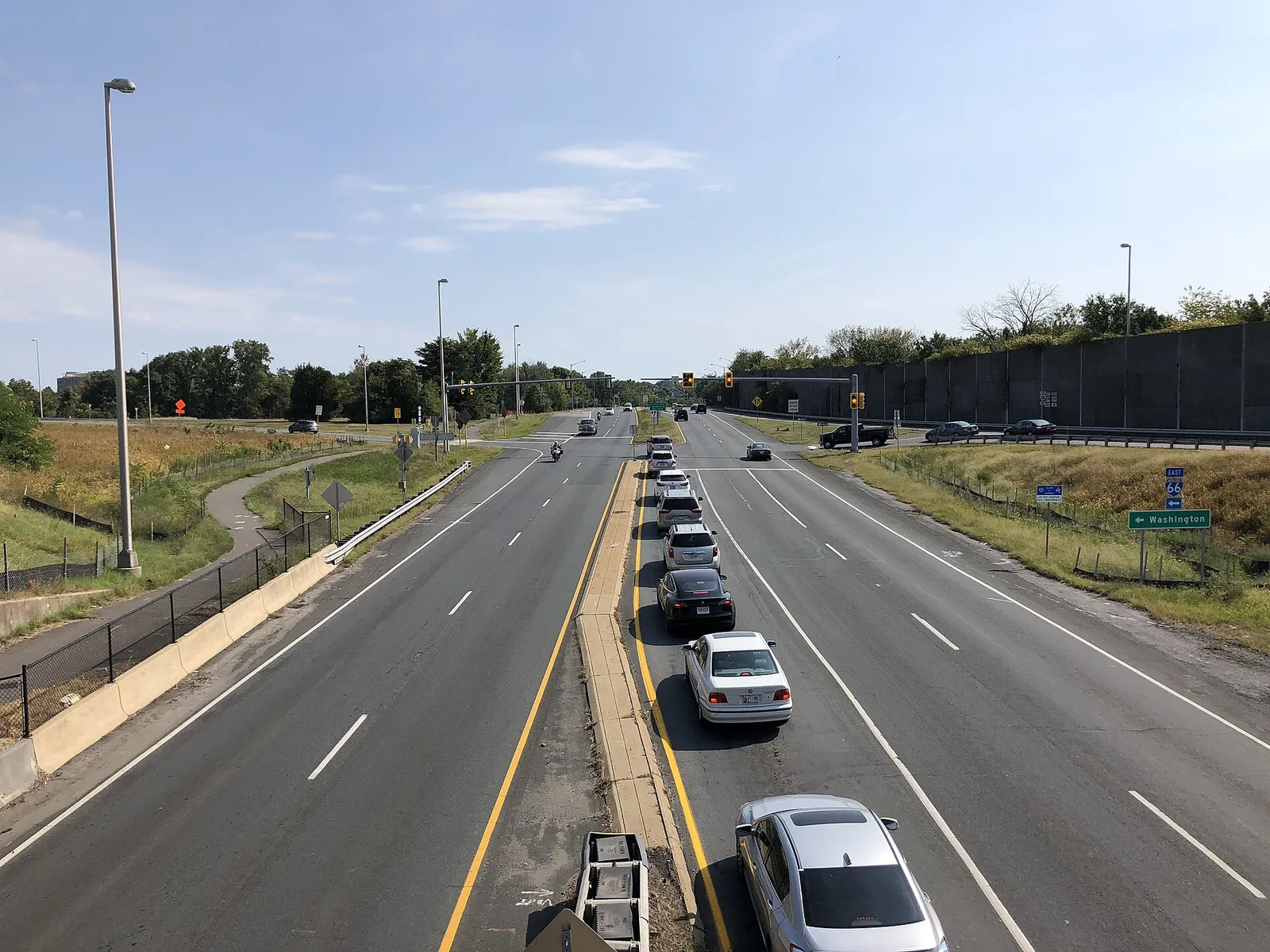
Three roads shape it. I-66 runs east to west through the middle and splits the area into a northern half and a southern half. Route 28 crosses it north to south, as Sully Road toward Dulles Airport and Centreville Road toward Manassas Park. Route 29 runs through the old crossroads and out west toward the Bull Run battlefield.
What this means for you
- ZIP code is not school zone. Fairfax County Public Schools splits Centreville among three high schools: Centreville, Westfield and Chantilly. Check any address on the FCPS boundary page before you sign a lease or a contract.
- ZIP code is not always “Centreville.” Little Rocky Run, inside the Census area, mostly carries Clifton’s 20124, and the mail name changes with it.
- There is no town tax. Every home pays the Fairfax County rate; see our property tax guide.
How the county maps Centreville
Fairfax County’s Comprehensive Plan places Centreville in its Bull Run Planning District and divides it into community planning sectors:
- Flatlick (BR3): north of I-66, between Route 29, Stringfellow Road and Old Lee Road. Mostly single-family homes, with townhouses along Stone Road, the plan says. Sully Station, Country Club Manor, London Towne and Cabells Mill are here.
- Centreville (BR6): south of I-66, between Union Mill Road, Compton Road and Stone Road. It holds the Centreville Suburban Center, the county’s name for the commercial and higher-density core around Route 28 and Route 29, plus Centre Ridge, Green Trails and the Centreville Historic Overlay District.
- Braddock (BR7): the eastern edge, toward Fairfax, including the Little Rocky Run stream valley.
- Stone Bridge (BR5): the far west, mostly parkland and farmland along Bull Run.
The county’s subdivision records name hundreds of developments inside the Census area. The largest by land are Little Rocky Run, Sully Station, Country Club Manor, Centre Ridge, Gate Post Estates, Green Trails and Newgate. The eight areas below are the ones the plan, the county’s subdivision layer or OpenStreetMap name as places and that we could place on a map.
Every area at a glance
Typical home value is Zillow’s index for the area’s main ZIP code in September 2026, a modeled value for the middle third of homes, not a sale price. The Centreville-wide figure was $614,849.
| Area | ZIP | High school zone | Typical value in ZIP | Guide |
|---|---|---|---|---|
| Historic Centreville | 20120 | Centreville | $686,705 | Read |
| Centreville Farms | 20120 | Centreville | $686,705 | Read |
| London Towne | 20120 | Westfield | $686,705 | Read |
| Sully Station | 20120 | Westfield | $686,705 | Read |
| Country Club Manor | 20120 | Westfield | $686,705 | Read |
| Cabells Mill and Sequoia Farms | 20120 | Westfield or Chantilly | $686,705 | Read |
| Centre Ridge | 20121 | Centreville | $555,198 | Read |
| Little Rocky Run | 20124 (Clifton) | Centreville | $996,920 | Read |
The Clifton figure covers all of ZIP 20124, which takes in the large-lot estates around the Town of Clifton, so it runs well above values in Little Rocky Run’s own streets.
The areas
Historic Centreville
The old crossroads village on the heights northeast of Route 28 and Route 29, protected by the county’s Centreville Historic Overlay District. Historic Centreville Park and Mount Gilead are here, with townhouses around the edges. Historic Centreville guide.
Centreville Farms
A 410-acre area south of I-66 between Pickwick Road and Stringfellow Road, planned by the county for redevelopment from older large lots to a mix of homes. Centreville Farms guide.
London Towne
A townhouse community on Stone Road north of Route 29, recorded in sections from 1965, with its own elementary school. London Towne guide.
Sully Station
The large community north of I-66 and west of Route 28, recorded in sections from 1986 to 1992, along Flatlick Branch and Cub Run. Sully Station guide.
Country Club Manor
Streets west of Sully Station along Cub Run, recorded in sections from 1966 to 1984. Country Club Manor guide.
Cabells Mill and Sequoia Farms
The low-density corner north of I-66 between Centreville and Chantilly, on the edge of Ellanor C. Lawrence Park. Cabells Mill and Sequoia Farms guide.
Centre Ridge
The large, mostly residential development south of Route 29 and west of Route 28, built with a mix of townhouses and single-family homes around Centre Ridge Park. Centre Ridge guide.
Little Rocky Run
The largest subdivision inside the Census area in the county’s records, along Union Mill Road in the southeast, with Clifton mailing addresses. Little Rocky Run guide.
Comparing Centreville with its neighbors
Taxes, schools and home values side by side for Centreville, Chantilly, Manassas and Manassas Park are in our comparison guide.
How we built this
We did not draw these areas ourselves. Each one is named by at least one public source:
- The county plan. The Bull Run Planning District text of the Fairfax County Comprehensive Plan (2017 edition, amended through March 21, 2023) names the planning sectors, the Centreville Suburban Center, the Historic Overlay District, the Centreville Farms Area, Centre Ridge, London Towne and Cabells Mill.
- The county’s subdivision layer. Fairfax County’s recorded subdivision map gives the extent and recording dates of Sully Station, Country Club Manor, Little Rocky Run, Centre Ridge and the others.
- OpenStreetMap. Place names such as London Towne, Centreville Farms and Sequoia Farms, plus parks, supermarkets and pharmacies, come from OpenStreetMap.
- ZIP codes and school zones come from Fairfax County’s ZIP code and FCPS attendance area layers for the 2026-27 school year. Where an area is split, we say so.
- Drive distances were measured on the OpenStreetMap road network. They are distances, not drive times.
Map data: Fairfax County GIS; © OpenStreetMap contributors.
Related guides
- Centreville schools
- Centreville home prices
- Getting around Centreville
- Parks and trails
- Moving to Centreville
Frequently asked questions
What are the neighborhoods in Centreville, Virginia?
Fairfax County’s plan and subdivision records name, among others, Historic Centreville, Centreville Farms, London Towne, Centre Ridge, Little Rocky Run, Sully Station, Country Club Manor and Cabells Mill. I-66 splits them into a northern and a southern half.
What ZIP codes are in Centreville?
Centreville’s own ZIP codes are 20120, north and west, and 20121, south and central. Little Rocky Run homes inside the Census area mostly carry Clifton’s 20124, and a few northern edges are Chantilly’s 20151.
Which Centreville ZIP code has higher home values?
- Zillow’s typical home value there was $686,705 in September 2026, compared with $555,198 in 20121. It is a modeled value, not a sale price.
Do Centreville school zones follow ZIP codes?
No. Fairfax County Public Schools draws its own attendance areas. Centreville is split among Centreville, Westfield and Chantilly high schools, and some single subdivisions are split between two elementary schools.
Have your say