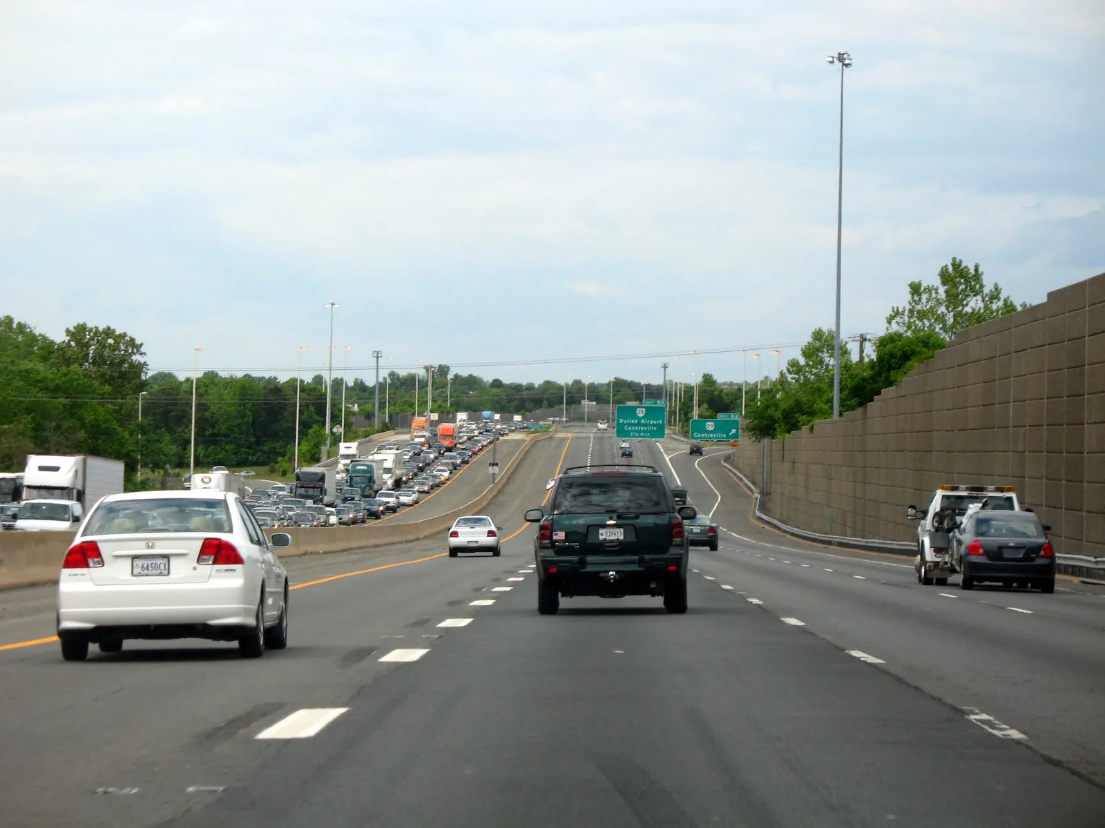
Centre Ridge is the large mixed-housing development south of Route 29 and west of Route 28. Zoned for Centre Ridge Elementary and Centreville High; ZIP 20121.
Last checked Oct. 19, 2026. Sources: the Bull Run Planning District text of the Fairfax County Comprehensive Plan, Fairfax County’s subdivision, ZIP code and school attendance area layers, the Zillow Home Value Index, the Virginia School Quality Profiles, Fairfax Connector and OpenStreetMap.
Centre Ridge is the big development on the south side of Centreville’s commercial core. Fairfax County’s plan describes it as “a large scale, predominantly residential development” designed “with a mix of housing unit types and densities,” and it fills most of the plan’s 588-acre Land Unit D. It sits between the shopping centers on Route 29 and Route 28 and the quieter streets to the south.
What this means for you
- Zoned high school: Centreville High, 6001 Union Mill Road, Clifton.
- Home values: ZIP 20121, typical value $555,198 in September 2026, according to Zillow.
- Nearest I-66 exit: Exit 53, Route 28, about 2.2 miles by road.
Where it is
Centre Ridge lies south of Route 29 and west of Route 28 (Centreville Road), with I-66 along its northwest edge. Fairfax County’s subdivision records show it recorded in sections from 1988 to 1997. New Braddock Road and Old Mill Road run through it. It is in ZIP code 20121 and in the plan’s Centreville planning sector.
The county plan’s Land Unit D has three parts: older homes on the west, commercial development along Route 29 and Centreville Road, and Centre Ridge, which “accounts for most of the area.” As each land bay was built, the plan says, buffers were added next to existing homes. Within Land Unit D:
- D-4, 177 acres, is planned for a mix of housing types at no more than an average of 12 homes an acre, with lower densities next to existing neighborhoods.
- D-6 is the county library site, now Centreville Regional Library, 14200 St. Germain Drive.
- D-9, 192 acres to the south, is planned for one to two homes an acre and holds the terminus of the Confederate military railroad, which the plan says should be preserved.
The plan also requires 41 affordable homes elsewhere in Centre Ridge if a theater and shops are built in Land Unit D-2 instead of apartments.
Schools
For 2026-27, from the FCPS attendance area maps, Centre Ridge is in one pathway:
- Centre Ridge Elementary, 14400 New Braddock Road. State profile.
- Liberty Middle, 6801 Union Mill Road, Clifton. State profile.
- Centreville High, 6001 Union Mill Road, Clifton. State profile.
All three are Fully Accredited for 2025-26 on Virginia’s School Quality Profiles. Centreville High’s four-year on-time graduation rate for its latest class on the profile is 95%. The new Skyview High boundaries take effect in 2027-28 and move some Centreville High students to Westfield, so check an address on the FCPS boundary page. More in our schools guide.
Home values
ZIP 20121’s typical home value was $555,198 in September 2026, up 0.5% from $552,535 a year earlier, according to the Zillow Home Value Index (Zillow Research). It is a modeled typical value for the middle third of homes, not a sale price. Centreville’s overall figure was $614,849, and ZIP 20120, north of I-66, was $686,705. See our home prices guide.
Parks and trails
From OpenStreetMap and the county plan:
- Centre Ridge Park, 14400 Old Mill Road, next to Centre Ridge Elementary.
- Centre Ridge North Park, near I-66 on the development’s northwest side.
- Old Centreville Road Park, a small county park east of Route 28.
More in our parks and trails guide.
Getting around
- I-66: Exit 53 (Route 28) is about 2.2 miles by road; Exit 52 (Route 29) about 4.1 miles to its ramp.
- Distances by road from the middle of Centre Ridge, measured on the OpenStreetMap road network: about 1.2 miles to Centreville Regional Library, 13.3 miles to Washington Dulles International Airport and 28.3 miles to Ronald Reagan Washington National Airport. These are distances, not drive times.
- Buses: Fairfax Connector Route 901 runs to the Herndon Metro station by way of Centreville Regional Library, and Route 610 runs along Route 29, according to the county’s route pages.
More in getting around Centreville.
Groceries and everyday stores
From OpenStreetMap, in the Suburban Center north of Centre Ridge:
- Giant, Saint Germain Drive
- Lidl, Centreville Crest Lane
- Lotte Plaza Market, Centreville Crest Lane
- Trader Joe’s and Walgreens, Route 29
Related guides
Map data: Fairfax County GIS; © OpenStreetMap contributors.
Frequently asked questions
Where is Centre Ridge in Centreville?
South of Route 29 and west of Route 28, with I-66 along its northwest side. Fairfax County’s records show Centre Ridge recorded in sections from 1988 to 1997.
What schools serve Centre Ridge?
For 2026-27, Centre Ridge Elementary at 14400 New Braddock Road, Liberty Middle and Centreville High, according to the Fairfax County Public Schools attendance area maps.
What is the typical home value in Centre Ridge?
Centre Ridge is in ZIP 20121, where Zillow’s typical home value was $555,198 in September 2026, up 0.5% from a year earlier. It is a modeled value, not a sale price.
Is Centreville Regional Library in Centre Ridge?
The library, at 14200 St. Germain Drive, sits on a site the county set aside for it inside the same planning land unit as Centre Ridge, about a mile by road from the middle of the development.
Have your say