London Towne is a townhouse community on Stone Road north of Route 29, recorded from 1965. Zoned for London Towne Elementary and Westfield High; ZIP 20120.
Last checked Oct. 19, 2026. Sources: the Bull Run Planning District text of the Fairfax County Comprehensive Plan, Fairfax County’s subdivision, ZIP code and school attendance area layers, the Zillow Home Value Index, the Virginia School Quality Profiles, Fairfax Connector and OpenStreetMap.
London Towne is one of Centreville’s older planned neighborhoods, a townhouse community on Stone Road between Route 29 and Braddock Road. The county’s plan uses it as a yardstick: nearby land is planned “similar to that of London Towne in both use and intensity.” It has its own elementary school, a park-and-ride at its front door and Cub Run Stream Valley Park along its western side.
What this means for you
- Zoned high school: Westfield High, 4700 Stonecroft Blvd., Chantilly.
- Home values: ZIP 20120, typical value $686,705 in September 2026, according to Zillow.
- Nearest I-66 exit: Exit 53, Route 28, about 1.8 miles by road.
Where it is
Fairfax County’s subdivision records show two developments: London Towne, recorded in sections from 1965 to 1985, and London Towne West, recorded from 1981 to 1985. Together they run along Stone Road north of Route 29 and west toward Cub Run, with Shady Hill Park at the south end. OpenStreetMap marks London Towne at Stone Road, with the older Centre Heights neighborhood next to it. The area is in ZIP code 20120 and in the county plan’s Flatlick planning sector, whose eastern edge “south of Braddock Road along Stone Road is developed with townhouses,” the plan says.
Across Route 29 to the southeast is the Centreville Suburban Center. The plan’s Land Unit H, between London Towne and I-66, is planned for townhouse-density homes on its western side and light industrial use next to the interstate.
Schools
For 2026-27, from the FCPS attendance area maps, the whole area is in one pathway:
- London Towne Elementary, 6100 Stone Road. State profile.
- Stone Middle, 5500 Sully Park Drive. State profile.
- Westfield High, 4700 Stonecroft Blvd., Chantilly. State profile.
All three are Fully Accredited for 2025-26 on Virginia’s School Quality Profiles. Westfield High’s four-year on-time graduation rate for its latest class on the profile is 97%. The new Skyview High boundaries, in force from 2027-28, move some students among Westfield, Chantilly, South Lakes and Centreville high schools, so check an address on the FCPS boundary page. More in our schools guide.
Home values
ZIP 20120’s typical home value was $686,705 in September 2026, up 1.3% from $677,970 a year earlier, according to the Zillow Home Value Index (Zillow Research). It is a modeled typical value for the middle third of homes, not a sale price, and it covers single-family homes as well as townhouses across northern Centreville. Centreville’s overall figure was $614,849. See our home prices guide.
Parks and trails
From OpenStreetMap and the county plan:
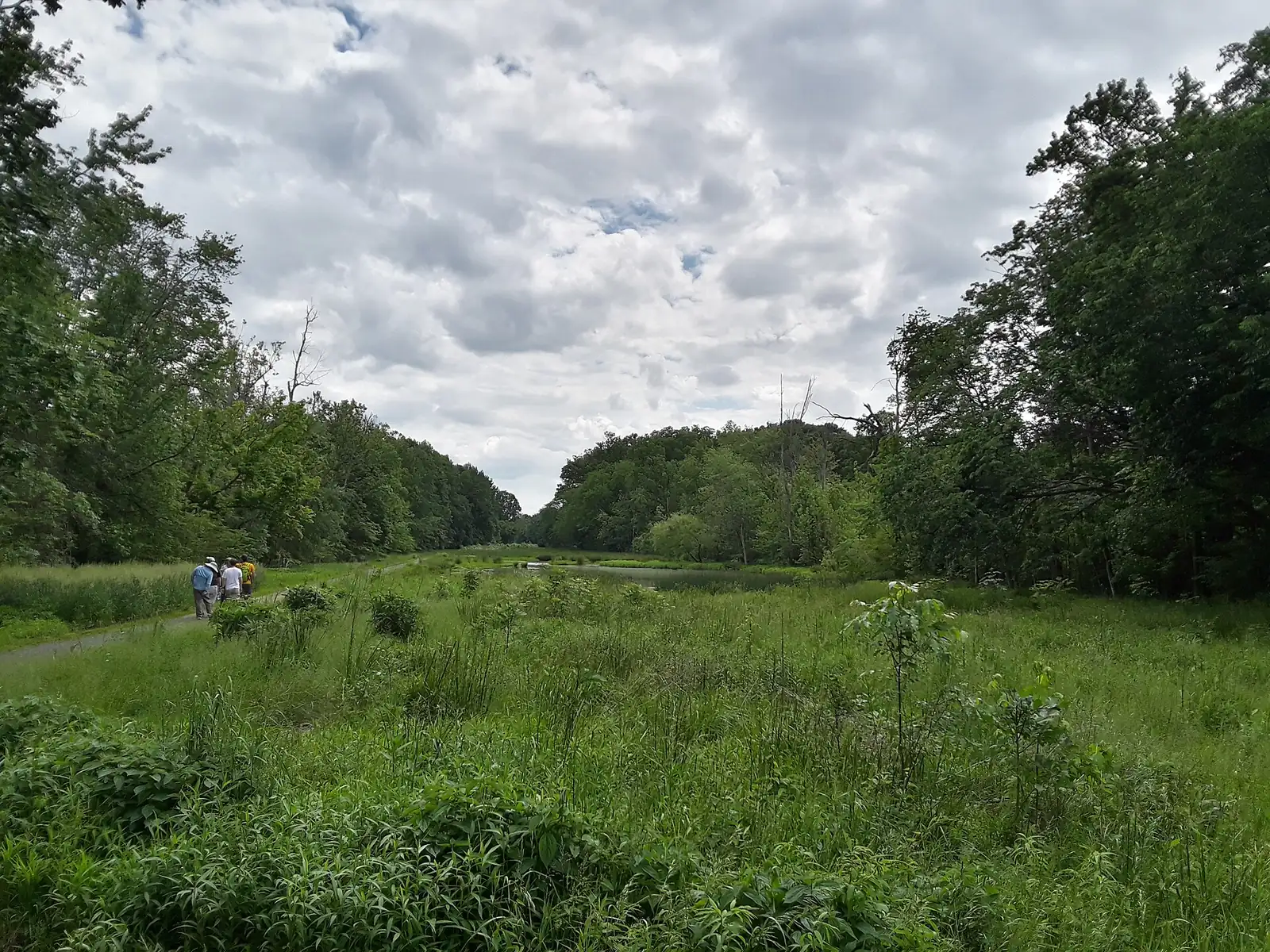
- Cub Run Stream Valley Park, the county’s stream valley park along Cub Run, with a paved path, bridges and wetlands on London Towne’s western side.
- Second London Towne West Park, a neighborhood park inside London Towne West.
- Shady Hill Park, at the south end of the area near Route 29.
- Pleasant Hill Park, 6305 Hidden Canyon Road, to the west.
More in our parks and trails guide and walking and biking trails guide.
Getting around
- I-66: Exit 53 (Route 28) is about 1.8 miles by road. Exit 52, the Route 29 interchange, is closer as the crow flies; measured to its ramp it is about 3.2 miles.
- Distances by road from the middle of London Towne, measured on the OpenStreetMap road network: about 1.6 miles to Centreville Regional Library, 11.6 miles to Washington Dulles International Airport and 27.9 miles to Ronald Reagan Washington National Airport. These are distances, not drive times.
- Park-and-ride: the Centreville (Stone Road) lot, 14700 Route 29 near Stone Road, has 372 free spaces, the county’s park-and-ride page says. It is served by Fairfax Connector Routes 642, 660 and 901, and Routes 610, 630 and 662 end there. Routes 660 and 662 run limited-stop service on I-66 to the Tysons and Vienna Metro stations.
More in getting around Centreville.
Groceries and everyday stores
From OpenStreetMap:
- Giant, Stone Road
- Giant, Saint Germain Drive, across Route 29
- The shopping centers on Route 29 and Route 28 in the Suburban Center
Related guides
Map data: Fairfax County GIS; © OpenStreetMap contributors.
Frequently asked questions
Where is London Towne in Centreville?
Along Stone Road north of Route 29 and west of I-66’s Route 29 interchange. Fairfax County’s records show London Towne and London Towne West, recorded in sections from 1965 to 1985.
What schools serve London Towne?
For 2026-27, London Towne Elementary at 6100 Stone Road, Stone Middle and Westfield High, according to the Fairfax County Public Schools attendance area maps.
Is London Towne a good place to live?
As facts: London Towne is a townhouse community next to Cub Run Stream Valley Park, zoned for Westfield High, which is Fully Accredited for 2025-26 with a 97% on-time graduation rate. The typical home value in ZIP 20120 was $686,705 in September 2026, according to Zillow.
Is there a park-and-ride near London Towne?
Yes. The Centreville (Stone Road) park-and-ride at 14700 Route 29 has 372 free spaces, with Fairfax Connector buses to the Vienna and Tysons Metro stations.
Have your say